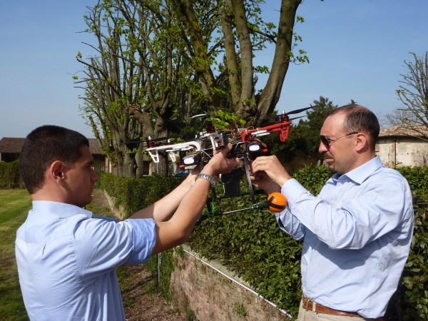
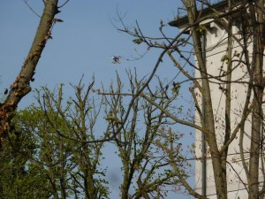
Today the photogrammetric survey with UAV is used successfully in all that situations where is required a fast but accurate survey, to realize in a short time the metric estimate.
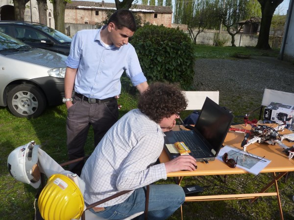
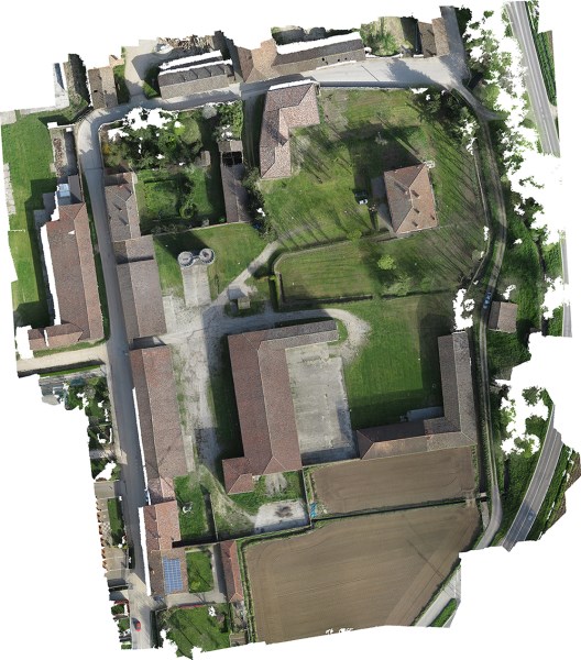
Ognato Brandico’s complex survey, about 4 hectares:
- a day of surveys, 400 photos, images with a ground pixel of 1,5 cm, targets’ topographic support with total station
- a day of data elaboration and production of ortophotos with resolution 1,5 cm ground pixel.